file:Guatemala location map.svg

Size of this PNG preview of this SVG file: 545 × 599 pixels. Duusra resolutions: 218 × 240 pixels | 436 × 480 pixels | 698 × 768 pixels | 931 × 1,024 pixels | 1,862 × 2,048 pixels | 982 × 1,080 pixels.
Original file (SVG file, naam kare ke khatir 982 × 1,080 pixels, file size: 120 KB)
Sanchhipt me
| Baare me |
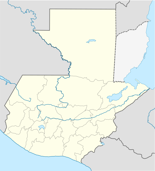
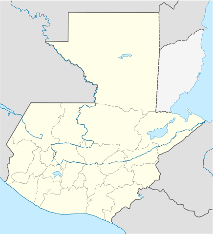
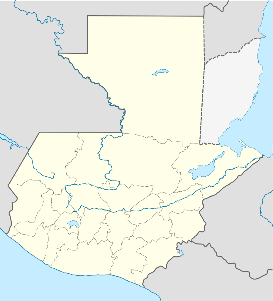
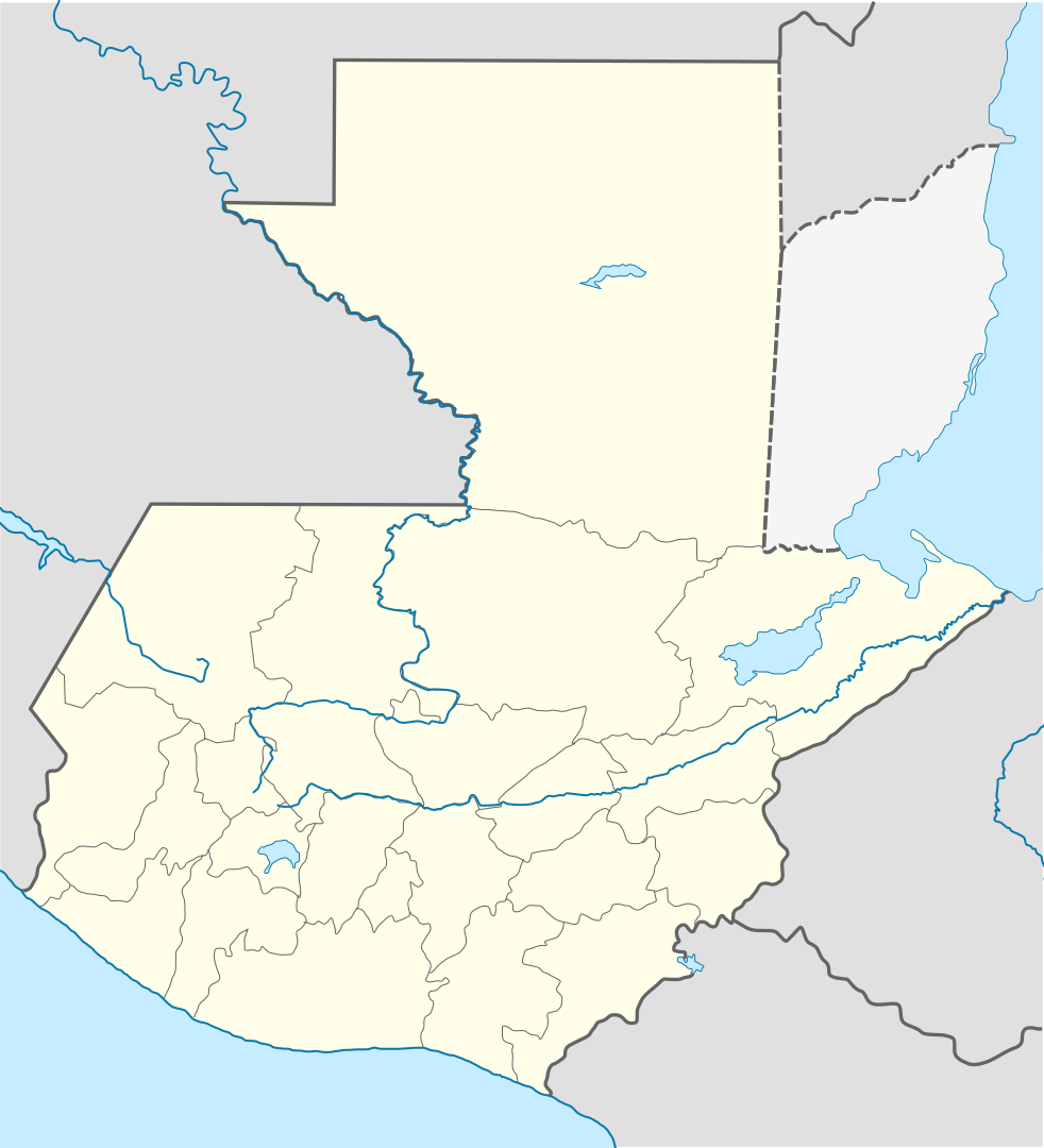
Deutsch: Positionskarte von Guatemala
Quadratische Plattkarte Русский: Карта расположения Гватемалы
English: Location map of Guatemala
Equirectangular projection, Geographic limits of the map:
Հայերեն: Գվատեմալայի տեղորոշման քարտեզ
Ուղղանկյուն պրոյեկցիա։ Քարտեզում աշխարհագրական սահմանները.
|
||
| Taarik | |||
| Source | |||
| Likhe waala |
|
||
| SVG genesis | This W3C-invalid vector image was created with Adobe Illustrator, and with Inkscape.
|
Licence ke baare me
ii file ke Creative Commons Attribution-Share Alike 3.0 Unported license ke niche licence karaa gais hai.
- You are free:
- share kare ke khaatir – to copy, distribute and transmit the work
- to remix – to adapt the work
- II condition ke niiche:
- attribution – Aap ke thiik credit de ke chaahi, licence pe jorr de ke chaahi, aur badlao ke dekhae ke chaahi. Aap iske koi reasonable manner me kare saktaa hai lekin aise nai ki lage ki licensor aap ke, nai to aap ke kaam ke endorse kre hai
- share alike – Agar aap milaata hai, badaltaa hai, nai to material pe jorrtaa hai, tab aap ke aapan yogdaan ke same or compatible license ke niche baate kare kae chaaahi.
Original upload log
This image is a derivative work of the following images:
- File:Guatemala Departments.svg licensed with Cc-by-sa-3.0, Cc-by-sa-3.0/ru, GFDL
- 2009-10-24T20:10:21Z Daryona 982x1080 (139456 Bytes) {{Information |Description={{en|1=Guatemala map}} {{ru|1=Карта гватемалы с департаментами}} |Source={{own}} |Author=[[User:Daryona|Daryona]] |Date=2009-10-24 |Permission= |other_versions= }} [[Ca
- File:Mexico location map.svg licensed with Cc-by-3.0, GFDL
- 2009-03-11T18:34:05Z NordNordWest 2029x1326 (882028 Bytes) {{Information |Description= {{de|Positionskarte von [[:de:Mexiko|Mexiko]]}} Quadratische Plattkarte, N-S-Streckung 110 %. Geographische Begrenzung der Karte: * N: 33.3° N * S: 14.2° N * W: 118.5° W * O: 86.3° W {{en|Locat
Uploaded with derivativeFX
File ke itihaas
File ke dekhe khatir, jaise uu time dekhe me lagat rahaa, date/time pe click karo.
| Din/Time | Chhota chapa | Lambai aur chaurai | Sadasya | Tiprrin | |
|---|---|---|---|---|---|
| abhi waala | 19:11, 18 Actobar 2022 | | 982 × 1,080 (120 KB) | Janitoalevic | Fixing |
| 18:59, 18 Actobar 2022 |  | 982 × 1,080 (102 KB) | Janitoalevic | Added disputed territory | |
| 21:05, 26 Actobar 2009 |  | 982 × 1,080 (154 KB) | Spischot | {{Information |Description={{de|Positionskarte von Guatemala}} Quadratische Plattkarte {{en|Location map of Guatemala}} Equirectangular projection, Geographic limits of the map: * N: 18.05° N * S: 13.54° N * W: 9 |
File ke kaise kaam me lawa gais hae
Niche ke 3 sab panna kaam me laae hai ii file ke:
Global file usage
Ii aur duusra wiki ii file ke use kare hai:
- af.wikipedia.org pe upyog
- an.wikipedia.org pe upyog
- ar.wikipedia.org pe upyog
- ast.wikipedia.org pe upyog
- Puerto San José
- San Pedro Sacatepéquez (Guatemala)
- Ciudá de Guatemala
- Volcán Santa María
- Volcán de Fueu
- Módulu:Mapa de llocalización/datos/Guatemala/usu
- Uaxactún
- Quiriguá
- Terremotu de Guatemala de 1902
- Campusantu de la Ciudá de Guatemala
- Aeropuertu Bananera
- Aeropuertu de Coatepeque
- Aeropuertu de Cobán
- Aeropuertu de Huehuetenango
- Aeropuertu de Playa Grande
- Aeropuertu de Puerto Barrio
- Aeropuertu de Puerto San José
- Aeropuertu de Quetzaltenango
- Aeropuertu de Quiché
- Aeropuertu de Retalhuleu
- Puerto Barrio
- Puertu Quetzal
- Santo Tomás de Castilla
- Plantía:Mapa de llocalización de Guatemala
- Volcán San Pedro (Guatemala)
- az.wikipedia.org pe upyog
- ba.wikipedia.org pe upyog
- be-tarask.wikipedia.org pe upyog
- be.wikipedia.org pe upyog
- bg.wikipedia.org pe upyog
- bn.wikipedia.org pe upyog
- bs.wikipedia.org pe upyog
Ii file ke more global usage kedekho.