file:Mexico (orthographic projection).svg

Size of this PNG preview of this SVG file: 550 × 550 pixels. Duusra resolutions: 240 × 240 pixels | 480 × 480 pixels | 768 × 768 pixels | 1,024 × 1,024 pixels | 2,048 × 2,048 pixels.
Original file (SVG file, naam kare ke khatir 550 × 550 pixels, file size: 376 KB)
Sanchhipt me
| Baare me |
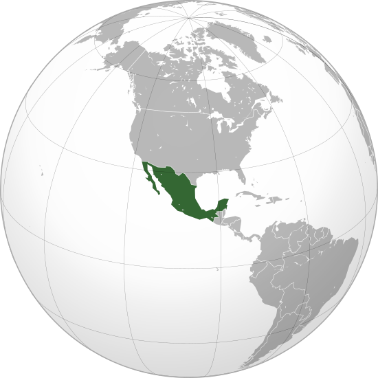
English: Mexico |
||||
| Taarik | |||||
| Source |
Aapan kaam (Original text: Own work,)
|
||||
| Likhe waala | Ssolbergj | ||||
| Other versions |
Derivative works of this file: Map ITESM campuses by city.svg .svg)
|
||||
| SVG genesis |

.svg)
.svg)
.svg)
.svg)
.svg)
.svg)
.svg)
.svg)
.svg)
.svg)
.svg)
.svg)
.svg)
.svg)
.svg)
.svg)
.svg)
.svg)
.svg)
.svg)
.svg)
.svg)
.svg)
.svg)
.svg)
.svg)
.svg)
.svg)
.svg)
.svg)
.svg)
.svg)
.svg)
.svg)
.svg)
.svg)
.svg)
.svg)
.svg)
.svg)
.svg)
.svg)
.svg)
.svg)
.svg)
.svg)
.svg)
.svg)
.svg)
.svg)
.svg)
.svg)
.svg)
.svg)
.svg)
.svg)
.svg)
.svg)
.svg)
.svg)
.svg)
.svg)
.svg)
.svg)
.svg)
.svg)
.svg)
.svg)
.svg)
.svg)
.svg)
.svg)
.svg)

.svg)

.svg)

.svg)
.svg)
.svg)
.svg)
.svg)
.svg)
.svg)


.svg)
.svg)
.svg)
.svg)
.svg)
.svg)
.svg)

.svg)
.svg)
.svg)
.svg)
.svg)
.svg)
.svg)
.svg)
.svg)

.svg)
.svg)
.svg)
.svg)
.svg)
.svg)
.svg)
_without_national_boundaries.svg)
.svg)
.svg)
.svg)
.svg)
.svg)
.svg)

.svg)
.svg)
.png)
.svg)
.svg)
.svg)
.svg)

.svg)
.svg)
.svg)
.svg)
.svg)
.svg)
.svg)
.svg)
.svg)
.svg)
.svg)

.svg)
.svg)
.svg)
.svg)
.svg)
.svg)
.svg)
.svg)
.svg)

.svg)
.svg)

.svg)
.svg)
.svg)
.svg)
.svg)
.svg)
.svg)
.svg)
.svg)
.svg)
.svg)
.svg)
.svg)
.svg)
.svg)
.svg)
.svg)
.svg)
.svg)
.svg)
.svg)
.svg)
.svg)
.svg)
.svg)
.svg)
.svg)
_-_Crimea_disputed.svg)
.svg)
.svg)
.svg)
.svg)
.svg)
.svg)
.svg)
.svg)
.svg)
.svg)
.svg)
_political.svg)
.svg)
.svg)
.svg)
.svg)
_-_Crimea_disputed_-_no_borders.svg)
.svg)
.svg)
.svg)
.svg)
.svg)
.svg)
.svg)
.svg)
.svg)
.svg)
.svg)

.svg)
.svg)
.svg)

.png)
.svg)
.svg)
.svg)
.svg)
.svg)
.svg)
.svg)
.svg)
.svg)
.svg)
.svg)
.svg)
.svg)
.svg)
.svg)
.svg)
.svg)
.svg)
.svg)
.svg)
.svg)
.svg)
.svg)
.svg)
.svg)
.svg)
.svg)
.svg)
.svg)
.svg)
.svg)
.svg)
.svg)
.svg)
.png)
.svg)
.svg)
.svg)
_(orthographic_projection).png)
.svg)
.svg)
.svg)
Licence ke baare me
I, the copyright holder of this work, hereby publish it under the following license:
This file is licensed under the Creative Commons Attribution 3.0 Unported license.
- You are free:
- share kare ke khaatir – to copy, distribute and transmit the work
- to remix – to adapt the work
- II condition ke niiche:
- attribution – Aap ke thiik credit de ke chaahi, licence pe jorr de ke chaahi, aur badlao ke dekhae ke chaahi. Aap iske koi reasonable manner me kare saktaa hai lekin aise nai ki lage ki licensor aap ke, nai to aap ke kaam ke endorse kre hai
File ke itihaas
File ke dekhe khatir, jaise uu time dekhe me lagat rahaa, date/time pe click karo.
| Din/Time | Chhota chapa | Lambai aur chaurai | Sadasya | Tiprrin | |
|---|---|---|---|---|---|
| abhi waala | 23:20, 18 Disambar 2009 | | 550 × 550 (376 KB) | Keepscases | Margins |
| 21:06, 21 Actobar 2008 |  | 541 × 541 (376 KB) | Ssolbergj | {{Information |Description={{en|1=aefv}} |Source=eav |Author=aedfv |Date=aerv |Permission=eaw |other_versions=ear }} werv <!--{{ImageUpload|full}}--> Category:Maps of Mexico |
File ke kaise kaam me lawa gais hae
Niche ke panna kaam me laae hai ii file ke:
Global file usage
Ii aur duusra wiki ii file ke use kare hai:
- ady.wikipedia.org pe upyog
- af.wikipedia.org pe upyog
- alt.wikipedia.org pe upyog
- ar.wikipedia.org pe upyog
- arz.wikipedia.org pe upyog
- as.wikipedia.org pe upyog
- az.wiktionary.org pe upyog
- ba.wikipedia.org pe upyog
- be.wikipedia.org pe upyog
- bg.wikipedia.org pe upyog
- bm.wikipedia.org pe upyog
- bn.wikipedia.org pe upyog
- bxr.wikipedia.org pe upyog
- ca.wikipedia.org pe upyog
- ca.wikinews.org pe upyog
- ceb.wikipedia.org pe upyog
- ckb.wikipedia.org pe upyog
- crh.wikipedia.org pe upyog
- cs.wikipedia.org pe upyog
- cs.wikiquote.org pe upyog
- da.wikipedia.org pe upyog
- de.wikipedia.org pe upyog
- en.wikipedia.org pe upyog
- List of sovereign states and dependent territories in North America
- Wikipedia:Userboxes/Location/Mexico
- Outline of Mexico
- Talk:European Union/Archive 22
- Mexico–Yugoslavia relations
- Template:User United Mexican States
- User:Wexeb
- User:Wexeb/Userboxes
- User:Chanterele
- User:De leeuw blauw
- User:AlexR.L.
- User:Sagleranorto/Jordglobskartor
- User:Gossip-Girlxox
- User:Alfonsobouchot
- User:Emilianogarciag
- User:Kusagami142
- User:Googolplanck
- User:Maquedasahag
- List of butterflies of Mexico
- User:SubSevenMoRpHeEuS
Ii file ke more global usage kedekho.
.svg)
.svg)