file:Papua New Guinea location map.svg

Size of this PNG preview of this SVG file: 800 × 481 pixels. Duusra resolutions: 320 × 192 pixels | 640 × 385 pixels | 1,024 × 615 pixels | 1,280 × 769 pixels | 2,560 × 1,538 pixels | 2,280 × 1,370 pixels.
Original file (SVG file, naam kare ke khatir 2,280 × 1,370 pixels, file size: 501 KB)
Sanchhipt me
| Baare me |
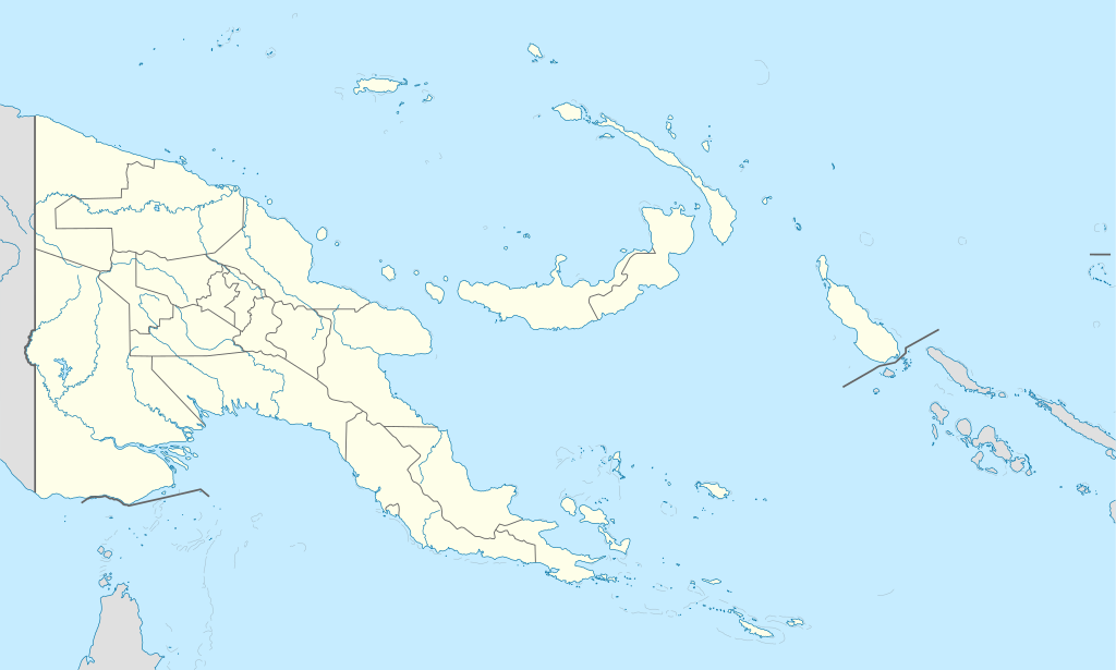
Deutsch: Positionskarte von Papua-Neuguinea
Quadratische Plattkarte. Geographische Begrenzung der Karte:
English: Location map of Papua New Guinea
Equirectangular projection. Geographic limits of the map:
|
| Taarik | 05-09-2008 |
| Source |
own work, using
|
| Likhe waala | NordNordWest |
| Other versions |
|


|
This map has been made or improved in the German Kartenwerkstatt (Map Lab). You can propose maps to improve as well.
|
Licence ke baare me
I, the copyright holder of this work, hereby publish it under the following licenses:

|
Ijaajat dewa jaae hae ii document ke copy, distribute aur kare ke,under the terms of the GNU Free Documentation License, Version 1.2 or any later version published by the Free Software Foundation; with no Invariant Sections, no Front-Cover Texts, and no Back-Cover Texts. A copy of the license is included in the section entitled GNU Free Documentation License. |
ii file ke Creative Commons Attribution-Share Alike 3.0 Unported license ke niche licence karaa gais hai.
- You are free:
- share kare ke khaatir – to copy, distribute and transmit the work
- to remix – to adapt the work
- II condition ke niiche:
- attribution – Aap ke thiik credit de ke chaahi, licence pe jorr de ke chaahi, aur badlao ke dekhae ke chaahi. Aap iske koi reasonable manner me kare saktaa hai lekin aise nai ki lage ki licensor aap ke, nai to aap ke kaam ke endorse kre hai
- share alike – Agar aap milaata hai, badaltaa hai, nai to material pe jorrtaa hai, tab aap ke aapan yogdaan ke same or compatible license ke niche baate kare kae chaaahi.
Aap aapan pasand ke licence ke chune saktaa hai.
File ke itihaas
File ke dekhe khatir, jaise uu time dekhe me lagat rahaa, date/time pe click karo.
| Din/Time | Chhota chapa | Lambai aur chaurai | Sadasya | Tiprrin | |
|---|---|---|---|---|---|
| abhi waala | 15:48, 5 Juun 2012 | | 2,280 × 1,370 (501 KB) | NordNordWest | upd |
| 07:49, 26 Mai 2011 |  | 2,280 × 1,370 (767 KB) | NordNordWest | Reverted to version as of 19:42, 8 December 2009 no need to revert | |
| 23:00, 25 Mai 2011 |  | 2,280 × 1,370 (674 KB) | AlexR.L. | Reverted to version as of 19:51, 5 September 2008 | |
| 19:42, 8 Disambar 2009 |  | 2,280 × 1,370 (767 KB) | NordNordWest | + rivers | |
| 19:51, 5 Saptambar 2008 |  | 2,280 × 1,370 (674 KB) | NordNordWest | {{Information |Description= {{de|Positionskarte von Papua-Neuguinea}} Quadratische Plattkarte. Geographische Begrenzung der Karte: * N: 0.6° S * S: 12.2° S * W: 140.4° O * O: 159.7° O {{en|Location map of [[:en:Papua New Guinea |
File ke kaise kaam me lawa gais hae
Ii file ke koi panna kaam me nai laae hai.
Global file usage
Ii aur duusra wiki ii file ke use kare hai:
- af.wikipedia.org pe upyog
- als.wikipedia.org pe upyog
- Vorlage:Positionskarte Papua-Neuguinea
- Port Moresby
- Bismarck-Archipel
- Neubritannien
- Duke-of-York-Inseln
- Admiralitäts-Inseln
- D’Entrecasteaux-Inseln
- Lavongai
- Westliche Inseln
- Feni-Inseln
- Lihir-Inseln
- Tabar-Inseln
- Tanga-Inseln
- St.-Matthias-Inseln
- Vitu-Inseln
- Neuirland
- Louisiade-Archipel
- Marshall-Bennett-Inseln
- Woodlark-Insel
- Trobriand-Inseln
- Mount Wilhelm
- an.wikipedia.org pe upyog
- ar.wikipedia.org pe upyog
- ast.wikipedia.org pe upyog
- Puertu Moresbi
- Nueva Bretaña
- Montes Herzog
- Archipiélagu Bismarck
- Islles del Duque de York
- Tabubil
- Islla Daru
- Estrechu de Dampier
- Islles del Almirantalgu
- Monte Lamington
- Archipiélagu de les Lluisiaes
- Aeropuertu Internacional de Jacksons
- Aeropuertu de Guasopa
- Puertu de Dreger
- Módulu:Mapa de llocalización/datos/Papúa Nueva Guinea
- Módulu:Mapa de llocalización/datos/Papúa Nueva Guinea/usu
- Islles d'Entrecasteaux
- Provincia de Nueva Bretaña Occidental
- Islles Trobriand
- Kitava
- Vakuta
Ii file ke more global usage kedekho.