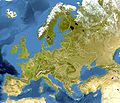
file:Europe relief laea location map.jpg
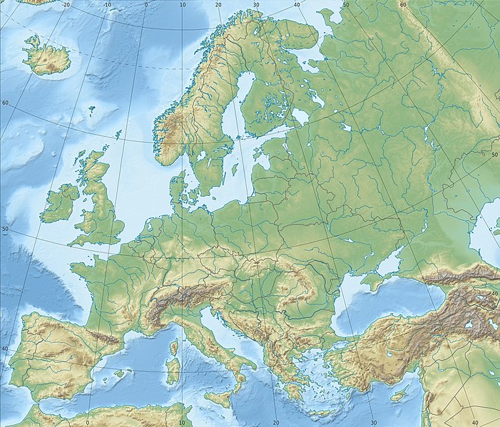
Ii preview ke size: 701 × 599 pixels Duusra resolutions: 281 × 240 pixels | 561 × 480 pixels | 898 × 768 pixels | 1,198 × 1,024 pixels | 1,580 × 1,351 pixels.
Original file (1,580 × 1,351 pixel, file ke size: 1.1 MB, MIME type: image/jpeg)
File ke itihaas
File ke dekhe khatir, jaise uu time dekhe me lagat rahaa, date/time pe click karo.
| Din/Time | Chhota chapa | Lambai aur chaurai | Sadasya | Tiprrin | |
|---|---|---|---|---|---|
| abhi waala | 22:29, 4 Julai 2018 |  | 1,580 × 1,351 (1.1 MB) | Subtropical-man | Reverted to version as of 22:56, 20 August 2012 (UTC) |
| 17:54, 2 Julai 2018 |  | 1,580 × 1,351 (821 KB) | 1970gemini | fiat lux | |
| 22:56, 20 August 2012 |  | 1,580 × 1,351 (1.1 MB) | McZusatz | Reverted to version as of 10:53, 14 March 2010 (...thumb fixed?) | |
| 22:55, 20 August 2012 |  | 120 × 103 (4 KB) | McZusatz | fixing thumb... | |
| 10:53, 14 Maach 2010 |  | 1,580 × 1,351 (1.1 MB) | Alexrk2 | == Summary == {{Information |Description= {{de|Physische Positionskarte Europa; Flächentreue Azimutalprojektion}} {{en|Physical location map Europe; Lambert azimuthal equal-area projection}} * Projection: LAEA Europe, [http: |
File ke kaise kaam me lawa gais hae
Niche ke panna kaam me laae hai ii file ke:
Global file usage
Ii aur duusra wiki ii file ke use kare hai:
- ab.wikipedia.org pe upyog
- als.wikipedia.org pe upyog
- ar.wikipedia.org pe upyog
- arz.wikipedia.org pe upyog
- ast.wikipedia.org pe upyog
- av.wikipedia.org pe upyog
- azb.wikipedia.org pe upyog
- az.wikipedia.org pe upyog
Ii file ke more global usage kedekho.

