file:Maria-Theresien-Platz in Wien.jpg
Aur achchha resolution nai hai.
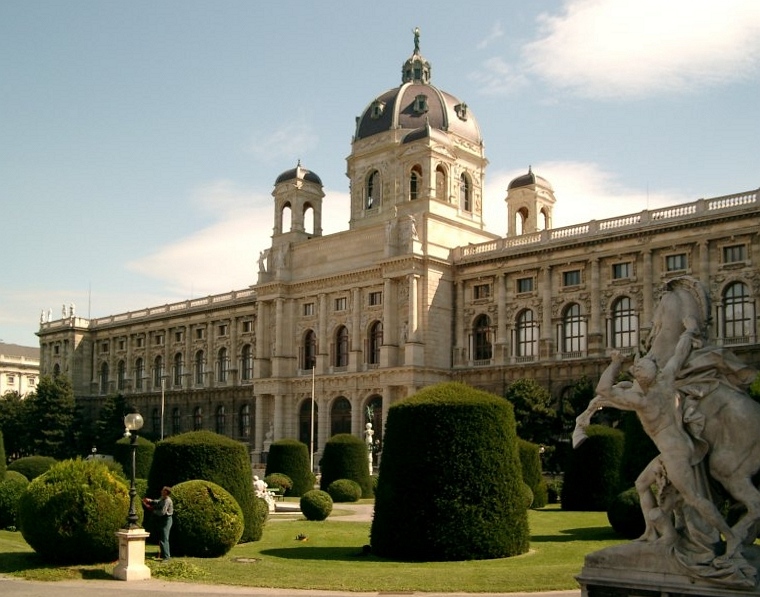
Maria-Theresien-Platz_in_Wien.jpg (760 × 597 pixel, file ke size: 202 KB, MIME type: image/jpeg)
| Baare me |
de-Wikipedia: selbstfotografiert / 2003-09 / Lizenz: GNU FDL |
||||||||
| Taarik | |||||||||
| Source | first upload in de wikipedia on 20:44, 30. Aug 2004 by Stern | ||||||||
| Likhe waala | Stern | ||||||||
| Adhikaar (Ii file ke fir se kaam me laawa jaae hai) |
|

| Camera location | | View this and other nearby images on: OpenStreetMap |
|---|
| Object location | | View this and other nearby images on: OpenStreetMap |
|---|
File ke itihaas
File ke dekhe khatir, jaise uu time dekhe me lagat rahaa, date/time pe click karo.
| Din/Time | Chhota chapa | Lambai aur chaurai | Sadasya | Tiprrin | |
|---|---|---|---|---|---|
| abhi waala | 15:13, 13 Actobar 2007 | | 760 × 597 (202 KB) | Berthold Werner | Perspektive korrigiert |
| 14:00, 5 Aprel 2006 |  | 800 × 600 (95 KB) | Briséis~commonswiki | * Maria-Theresien-Platz, Vienna, Austria * Author: Stern, picture taken 2003-09 |
File ke kaise kaam me lawa gais hae
Niche ke panna kaam me laae hai ii file ke:
Global file usage
Ii aur duusra wiki ii file ke use kare hai:
- de.wikipedia.org pe upyog
- Benutzer:Stern/Galerie
- Wikipedia:Kandidaten für exzellente Bilder/Archiv2005/3
- Wikipedia:WikiProjekt Wien/Bild der Woche
- Wikipedia:Kandidaten für exzellente Bilder/Archiv2006/20
- Diskussion:Wiener Ringstraße
- Die Malkunst
- Burgring
- Wikipedia:Wiki Loves Monuments Österreich/Tagdesdenkmals 2011/Wien
- Wikipedia:Wiki Loves Monuments Österreich/Tagdesdenkmals 2014/Wien
- Wikipedia:Hauptseite/Archiv/17. Oktober 2011
- Wikipedia:Wiki Loves Monuments Österreich/Tagdesdenkmals 2015/Wien
- Wikipedia:Wiki Loves Monuments Österreich/Tagdesdenkmals 2016/Wien
- Wikipedia:Hauptseite/Archiv/17. Oktober 2016
- Wikipedia:Wiki Loves Monuments Österreich/Tagdesdenkmals 2017/Wien
- Wikipedia:Wiki Loves Monuments Österreich/Tagdesdenkmals 2018/Wien
- de.wikinews.org pe upyog
- es.wikipedia.org pe upyog
- fr.wikipedia.org pe upyog
- fr.wikivoyage.org pe upyog
- gag.wikipedia.org pe upyog
- he.wikiquote.org pe upyog
- hr.wikipedia.org pe upyog
- hu.wikipedia.org pe upyog
- hy.wikipedia.org pe upyog
- it.wikipedia.org pe upyog
- ja.wikipedia.org pe upyog
- ka.wikipedia.org pe upyog
- kk.wikipedia.org pe upyog
- la.wikipedia.org pe upyog
- lb.wikipedia.org pe upyog
- lt.wikipedia.org pe upyog
- mk.wikipedia.org pe upyog
- no.wikipedia.org pe upyog
- pl.wikipedia.org pe upyog
- pms.wikipedia.org pe upyog
- pt.wikipedia.org pe upyog
- ro.wikipedia.org pe upyog
- ru.wikipedia.org pe upyog
Ii file ke more global usage kedekho.