file:South Sudan topographic map.svg

Size of this PNG preview of this SVG file: 800 × 577 pixels. Duusra resolutions: 320 × 231 pixels | 640 × 462 pixels | 1,024 × 738 pixels | 1,280 × 923 pixels | 2,560 × 1,846 pixels | 1,553 × 1,120 pixels.
Original file (SVG file, naam kare ke khatir 1,553 × 1,120 pixels, file size: 759 KB)
Sanchhipt me
| Baare me |
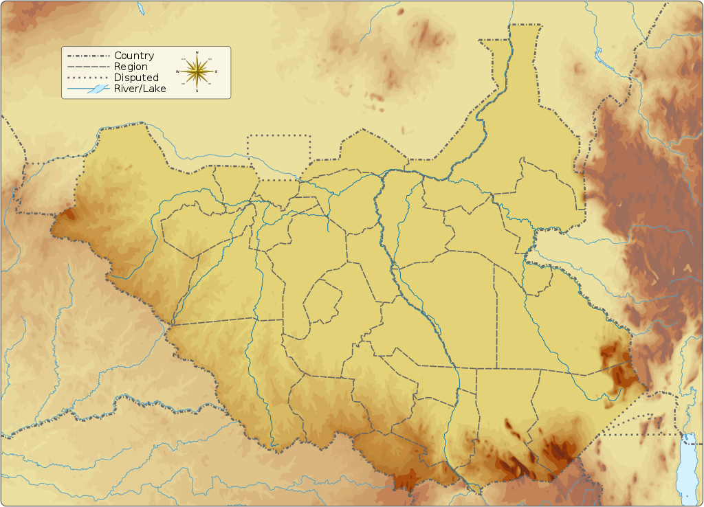
English: Topographic map of South Sudan.
|
||||||||||||||||||||||
| Taarik | |||||||||||||||||||||||
| Source |
Aapan kaam Information from:
|
||||||||||||||||||||||
| Likhe waala | Goran_tek-en | ||||||||||||||||||||||
| Adhikaar (Ii file ke fir se kaam me laawa jaae hai) |
This file is licensed under the Creative Commons Attribution-Share Alike 4.0 International license. Attribution: Goran tek-en
|
||||||||||||||||||||||
| Other versions |
|
||||||||||||||||||||||
| SVG genesis | This vector image was created with Inkscape.
|
||||||||||||||||||||||

| Object location | | View this and other nearby images on: OpenStreetMap |
|---|


Licence ke baare me
This file is licensed under the Creative Commons Attribution-Share Alike 4.0 International license.
Attribution: Goran tek-en
- You are free:
- share kare ke khaatir – to copy, distribute and transmit the work
- to remix – to adapt the work
- II condition ke niiche:
- attribution – Aap ke thiik credit de ke chaahi, licence pe jorr de ke chaahi, aur badlao ke dekhae ke chaahi. Aap iske koi reasonable manner me kare saktaa hai lekin aise nai ki lage ki licensor aap ke, nai to aap ke kaam ke endorse kre hai
- share alike – Agar aap milaata hai, badaltaa hai, nai to material pe jorrtaa hai, tab aap ke aapan yogdaan ke same or compatible license ke niche baate kare kae chaaahi.
File ke itihaas
File ke dekhe khatir, jaise uu time dekhe me lagat rahaa, date/time pe click karo.
| Din/Time | Chhota chapa | Lambai aur chaurai | Sadasya | Tiprrin | |
|---|---|---|---|---|---|
| abhi waala | 15:32, 5 Saptambar 2016 | | 1,553 × 1,120 (759 KB) | Goran tek-en | User created page with UploadWizard |
File ke kaise kaam me lawa gais hae
Niche ke panna kaam me laae hai ii file ke:
Global file usage
Ii aur duusra wiki ii file ke use kare hai:
- ab.wikipedia.org pe upyog
- ar.wikipedia.org pe upyog
- av.wikipedia.org pe upyog
- az.wikipedia.org pe upyog
- be.wikipedia.org pe upyog
- bn.wikipedia.org pe upyog
- bs.wikipedia.org pe upyog
- ceb.wikipedia.org pe upyog
- ce.wikipedia.org pe upyog
- cs.wikipedia.org pe upyog
- de.wikivoyage.org pe upyog
- din.wikipedia.org pe upyog
- dsb.wikipedia.org pe upyog
- el.wikipedia.org pe upyog
- en.wikipedia.org pe upyog
- Kidepo River
- Kinyeti
- Lake No
- Bahr el Zeraf
- Pibor River
- Akobo River
- Jur River
- Unity oilfield
- Jikawo River
- Yabus River
- Boma National Park
- Nimule National Park
- Lantoto National Park
- Mbarizunga Game Reserve
- Bengangai Game Reserve
- Southern National Park
- Shambe National Park
- Chelkou Game Reserve
- Imatong Mountains
- Kongkong River
- Kangen River
- Lotilla River
- Kuru River
- Pongo River (South Sudan)
- Wau River
- Didinga Hills
- Daga River (South Sudan)
- Adar River
Ii file ke more global usage kedekho.